The most local chain in every province
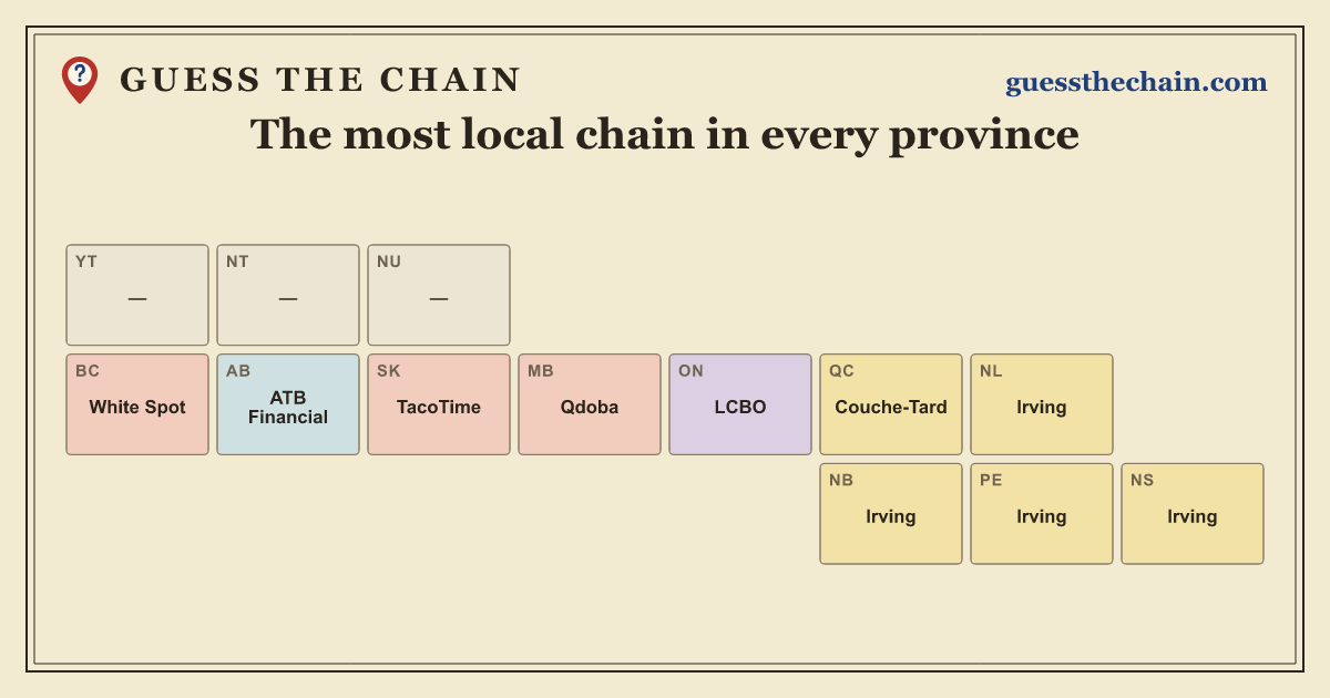
Every province has chains you see on every corner and chains you will hardly find anywhere else. The map shows each province’s most local chain: the one with far more locations per person there than in Canada as a whole. Pick a province to see all of its most common and most local chains, and the big chains it is missing.
Most local and most common chain in each province
| Province | Most local chain | vs. national rate | Most common chain | Locations |
|---|---|---|---|---|
| Alberta | ATB Financial | 8.2× | Tim Hortons | 433 |
| British Columbia | White Spot | 7.2× | Tim Hortons | 354 |
| Manitoba | Qdoba | 14× | Tim Hortons | 124 |
| New Brunswick | Irving | 14× | Irving | 138 |
| Newfoundland and Labrador | Irving | 10× | Tim Hortons | 68 |
| Northwest Territories | – | CIBC | 5 | |
| Nova Scotia | Irving | 8.3× | Tim Hortons | 158 |
| Nunavut | – | Home Hardware | 2 | |
| Ontario | LCBO | 2.6× | Tim Hortons | 1,960 |
| Prince Edward Island | Irving | 11× | Irving | 24 |
| Quebec | Couche-Tard | 4.6× | Couche-Tard | 607 |
| Saskatchewan | TacoTime | 7.9× | PharmaChoice | 99 |
| Yukon | – | Tim Hortons | 12 |
How the most local chain is picked
For each chain we compare the province’s share of its locations in Canada with the province’s share of the population. A chain with 10% of its locations in a province that has 2% of the people is 5× as common there as nationally. Only chains with at least 5 locations in the province, and at least 25 overall, count. When several chains are 6× as common or more, the one with the most locations in the province is shown, because it is the one people there are most likely to know. The most common chain is simply the one with the most locations.
Store locations from All the Places (data from October 2026), with gaps filled from OpenStreetMap (© OpenStreetMap contributors). Population: Statistics Canada estimates for July 2026. Counts can be a little off as stores open and close.